
Trails Neighborhood Lafayette Guide to Parks & Paths Near Walnut Creek
February 19, 2026
February 19, 2026
Early mornings in Trails often start with a jog along the Lafayette-Moraga Regional Trail, sunlight filtering through oaks, and a smooth ride into town for coffee. If you want daily access to greenways without giving up quick errands or a straightforward BART commute, this Lafayette neighborhood makes it easy. In this guide, you’ll learn how the parks and paths shape everyday life here, what downtown offers within a short ride or walk, and what to know about local homes and practical considerations. Let’s dive in.
The Lafayette-Moraga Regional Trail runs right through or beside the Trails neighborhood, creating a true outdoor corridor for walkers, runners, cyclists, and equestrians. This paved path stretches roughly 7.65–7.7 miles between Lafayette and Moraga, with ADA-accessible sections and creekside shade in places. It’s open year-round and connects to schools and local parks, so you can build short loops or go long on weekends. For details and maps, check the official East Bay Regional Park District page for the Lafayette-Moraga Regional Trail.
A favorite neighborhood entry point is Leigh Creekside Park, a small green along the trail that works as a convenient meet-up or water stop. City plans have looked at improvements to this park over time, reflecting how much residents use it as an informal trailhead. You can see city planning materials for Leigh Creekside Park for additional context.
Leigh Creekside Park is just the start. Nearby recreation anchors include Lafayette Community Park and the Lafayette Reservoir. The reservoir loop is popular for fitness walks, stroller-friendly outings at the base, and longer perimeter hikes when you want more elevation. If you’re in the mood for ridge views and steeper trails, Las Trampas Regional Wilderness and the connected watershed network are a short drive away. For inspiration on bigger regional hikes, explore the Briones to Mount Diablo Regional Trail corridor.
Beyond the neighborhood path, the East Bay’s paved trail network opens up even more rides and runs. A short drive brings you to the Iron Horse Regional Trail, which links several downtowns and transit hubs through Walnut Creek, Danville, and Pleasanton. That makes weekend mileage easy and, for some, even a bike-to-errands or bike-to-BART routine. Learn more on EBRPD’s page for the Iron Horse Regional Trail.
One of Trails’ best qualities is the blend of close-to-town pockets and quieter hillside streets. Homes close to Mt. Diablo Boulevard and the northern trail entries tend to score higher for walkability to cafés and groceries, while addresses farther uphill trade quick errands for larger yards and a more secluded feel. A practical tip: confirm walk times for a specific address using a map tool, since walking convenience can change street by street.
Downtown Lafayette is compact and easy to navigate when you want a quick bite, a bakery treat, or everyday essentials. Along Mt. Diablo Boulevard and around Lafayette Plaza, you’ll find cafés and neighborhood favorites like RÊVE (a MICHELIN Guide-listed bistro), Sideboard, and the Round Up Saloon, plus grocery options that include Diablo Foods, Whole Foods, and Trader Joe’s nearby. It’s the kind of main street where you can pair a trail outing with brunch, run a couple of errands, and be back home without much driving.
If you commute or enjoy frequent city trips, Lafayette BART is your primary rail link. Trains run directly into Oakland and San Francisco, with typical published planners showing roughly 30 to 40 minutes to central San Francisco depending on time of day and route. For live routes and schedules, use the BART stations and trip planner.
Local buses and shuttles help connect Lamorinda neighborhoods to BART, and timetables shift by season and service changes. Check County Connection updates when planning a transit-based routine.
Drivers use Highway 24 for Oakland and the tunnel into the central Bay, and I-680 to reach job centers farther east. Bishop Ranch in San Ramon is a major suburban employment and retail hub within regional driving reach, frequently noted in Bay Area development coverage such as this overview of the Bishop Ranch site’s evolution.
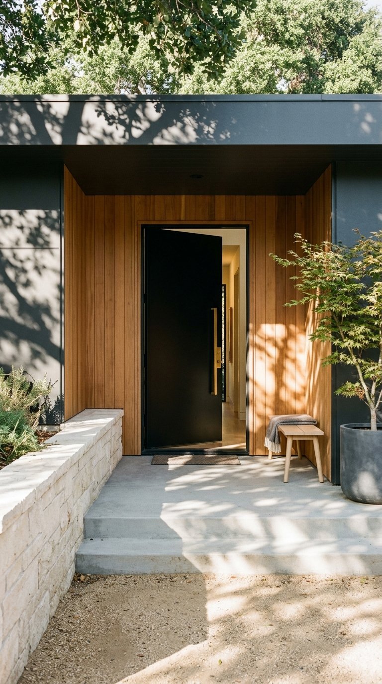
You’ll see a mix of single-story mid-century ranches and Craftsman bungalows, especially near downtown, alongside larger two-story and newer traditional homes on the hillsides. Smaller lots closer to town often fall in the 6,000 to 8,000 square foot range, while ranches and newer builds uphill more commonly sit on quarter-acre to half-acre and larger parcels. Neighborhood snapshots have reported a median lot size around 13,000 square feet and recent single-family medians near the low seven figures. Inventory is typically tight, and prices can move quickly, so it’s smart to get a current, address-level comparative market analysis before making decisions.
Trails is served by the Lafayette School District for elementary and middle grades and the Acalanes Union High School District at the high school level. For district information and program highlights, visit the Acalanes Union High School District. If schools are part of your decision, review official district resources and confirm attendance zones and program details directly with the districts.
Hillside living often comes with beautiful views and tree canopy. It also calls for practical steps around wildfire preparedness and home hardening. Parts of Lafayette fall within mapped wildfire hazard areas, and the city provides guidance on defensible space requirements, building considerations, and local best practices. Before you buy, review the City of Lafayette wildfire hazard maps and resources, and factor insurance and mitigation plans into your budget.
On the trails, dogs are generally allowed on leash, and the paved corridor works well for a wide range of users. Always follow posted rules and yield guidelines along the Lafayette-Moraga Regional Trail to keep the path safe and enjoyable for everyone.
Picture this: a morning run along the creek-adjacent stretch, a quick roll into town for coffee and a pastry, and an afternoon loop at the reservoir before dinner on the patio. On weekends, you might head for Las Trampas ridge views or load bikes for a longer ride on the Iron Horse Trail. The rhythm is simple and outdoorsy, with everything you need close at hand.
Choose Trails if you want daily access to a paved multi-use path, quick reach to downtown Lafayette, and a range of home styles from cozy bungalows to larger hillside properties. If you value a BART-friendly commute and weekend open space right outside your door, this neighborhood deserves a look.
If you’re weighing specific streets, walk times, or lot characteristics, let’s map it together. For hyper-local insight and an address-level game plan, connect with Alexis Thompson.
Stay up to date on the latest real estate trends.


Etiam non quam lacus suspendisse faucibus interdum. Orci ac auctor augue mauris augue neque. Bibendum at varius vel pharetra. Viverra orci sagittis eu volutpat.